

Accessible Woodland Trails Transform Bristol Properties
The Results Trail Creation Delivers for Vermont Landowners
A well-cut trail through wooded property changes how you experience land you own. What was previously inaccessible forest becomes a recreational asset—you can walk to back corners, reach hunting stands, access maple tapping areas, or simply enjoy wooded sections without bushwhacking. Properties in Bristol's hilly terrain particularly benefit because trails provide safe footing on slopes where loose leaves and hidden roots make off-trail hiking risky.
Trail creation isn't just cutting a path—it's establishing a route that won't erode, flood, or become impassable after heavy rain. Properly designed trails follow contour lines on slopes, include drainage where needed, and avoid sensitive areas like vernal pools. Once established, trails require minimal maintenance while providing year-round access. Families use them for hiking and berry picking in summer, leaf viewing in fall, and snowshoeing when Bristol's elevation brings reliable winter snow.
How Trail Cutting Works Through Bristol's Wooded Terrain
Creating new trails through previously inaccessible wooded areas starts with route planning based on intended use. Recreational walking trails take gentler grades than ATV access routes, while trails connecting to back fields prioritize directness over scenery. Connor Land Clearing evaluates terrain, identifies obstacles like wet areas or steep sections, and determines the most sustainable path.
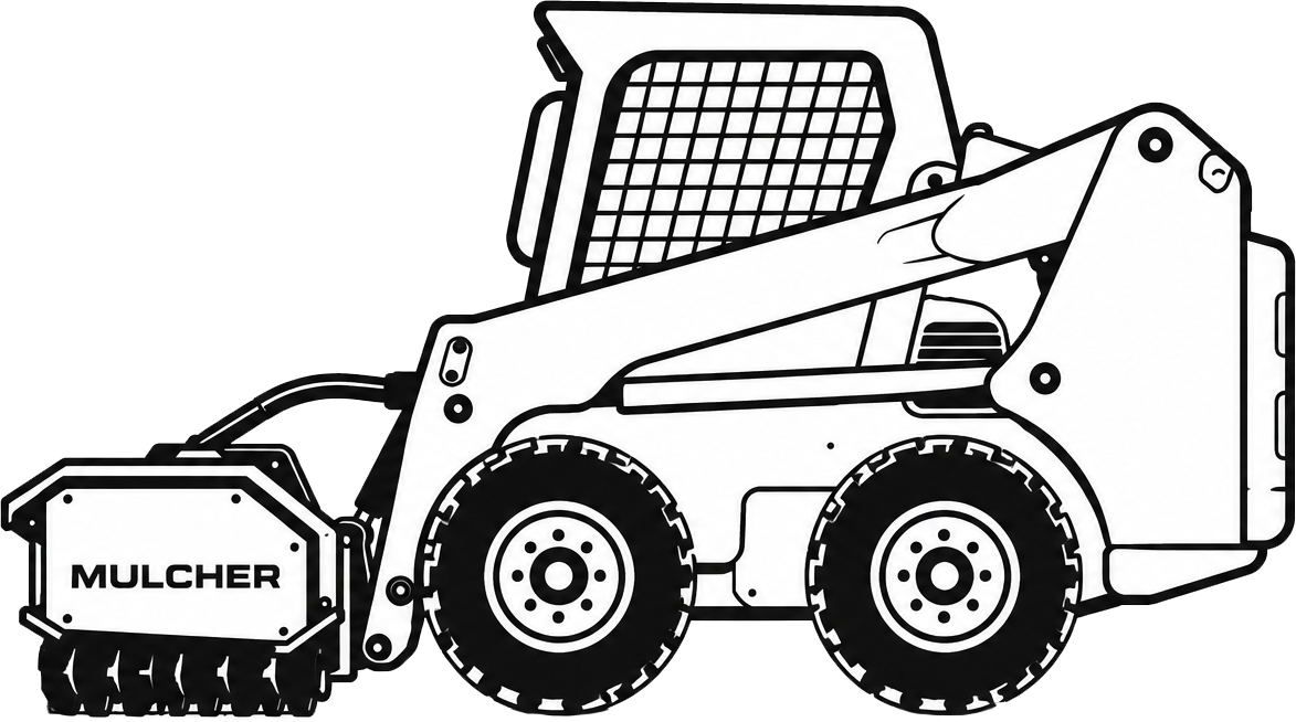
Cutting involves removing trees, brush, and stumps to create clear passage while preserving the woodland character that makes trails enjoyable. Width depends on purpose: narrow footpaths minimize impact for hiking, while wider cuts accommodate small vehicles or equipment. The process includes grading where necessary to prevent water pooling and establish proper drainage. After cutting, the trail base settles over several months, with any erosion spots addressed before the route becomes fully established. Properties near Bristol's conservation areas gain trails that connect private land to existing trail networks, expanding recreational options without leaving your property.
If you own wooded land in Bristol that you can't fully use or access, trail creation opens up your property for recreational or practical purposes. Get in touch to discuss routing options for your terrain.
Trail Design Considerations for Bristol Woodland Properties
Vermont's woodland terrain presents specific challenges that affect trail longevity and usability. Understanding these factors helps landowners plan trails that serve their needs without creating maintenance problems.
- Routing trails across slopes rather than straight downhill prevents erosion channels that wash out paths during Bristol's spring snowmelt
- Avoiding seasonal wet areas keeps trails passable year-round, important for properties in Bristol's valley locations where drainage is slow
- Width selection balances access needs with forest impact—wider cuts let more light reach the forest floor, changing plant communities
- Clearing height affects long-term maintenance, as low branches regrow quickly and require regular trimming to maintain headroom
- Connection points matter for properties bordering state land or conservation easements, where trail access expands recreational range significantly
Well-planned trails become permanent property features that increase land value and enjoyment. The difference is immediate: sections of your Bristol property that were theoretical boundaries on a map become places you actually visit and use. Walking your own woodland trails reveals wildlife, seasonal changes, and property features you never knew existed. Contact us to explore trail possibilities for your wooded acreage.